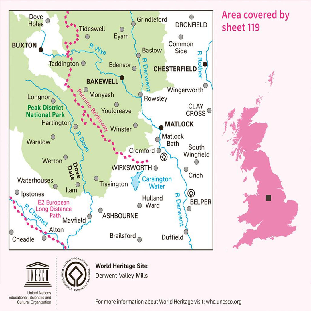
OS Landranger Map 119 Buxton & Matlock Chesterfield Bakewell & Dove Dale


Landranger maps by Ordnance Survey are an ideal all-purpose map for planning your perfect day out on foor or by car. With all the information you need to really get to know the area and the world famous OS Mapping the Landranger series are ideal for visitors tourists and local residents.
This sheet is OS Landranger 119 - Buxton & Matlock Chesterfield Bakewell & Dove Dale
The Landranger map of Buxton & Matlock, including Chesterfield, Bakewell, and Dove Dale is a must-have for your next trip to the area. Landranger maps are perfect for extensive hikes, cycling, and driving holidays. Ideal for planning days out or extensive trips to this stunning area in the heart of the Peak District.
Walks in the picturesque countryside, spa breaks, shopping trips, and the arts are all on offer here. Other highlights include: The Peak District National Park, Buxton, River Derwent, and High Tor.
Our Landranger maps come in standard or Weatherproof Active, you'll also receive a free download for your devices — making for a convenient companion.
- 1: 50'000 Scale - 2cm to 1km - 1/1/4 inches to 1 mile
- Standard folding edition
