Waterproof OS Map OL36 - South Pembrokeshire

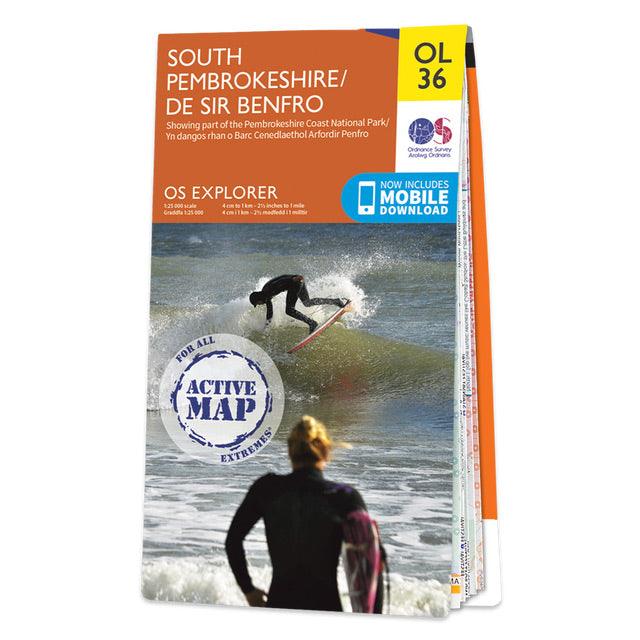


The OS Explorer OL36 map of South Pembrokeshire is a must-have when visiting the West Coast of Wales.
South Pembrokeshire is a favourite among families — and people of all ages, due to its sandy beaches and popular seaside towns such as Tenby.
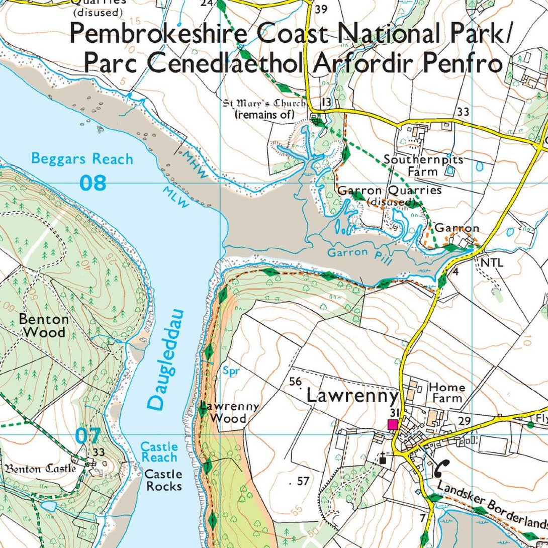
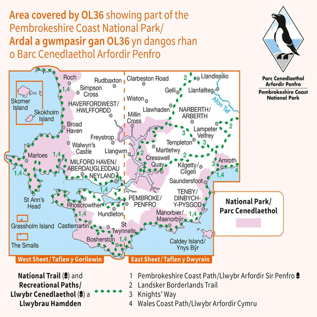
There is an abundance of attractions like the Oakwood Theme Park, Folly Farm — as well as castles such as Picton, Pembroke, Manorbier, and Carew. Other highlights include: The Pembrokeshire Coast National path, The knight's Way, Milford Haven, Pembroke, and Haverfordwest.
OS Explorer maps are perfect for day-tripping, extensive hikes, and cycling. This Weatherproof Active map is protected so that you'll never get caught out in a storm.
This map also comes with a free digital download, so you can access it across your devices — making for a more convenient companion.