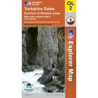
OS Explorer Map OL2 - Yorkshire Dales: S & W areas Whernside Ingleborough & Pen-y-ghent

Description
The Explorer series provides a complete coverage of Great Britain and details essential information including Youth hostels pubs telephone boxes visitor information and landmarks plus detailed rights of way permissive paths and bridleways.
Detailed 1:25'000 scale - 4cm to 1km / 2.5 inches to 1 mile
- OS Explorer Sheet OL2
- Covers Yorkshire Dales: S & W areas Whernside Ingleborough & Pen-y-ghent
- Detailed 1:25'000 scale - 4cm to 1km / 2.5 inches to 1 mile
- The essential map for outdoor activities

OS Explorer Map OL2 - Yorkshire Dales: S & W areas Whernside Ingleborough & Pen-y-ghent
£9.99