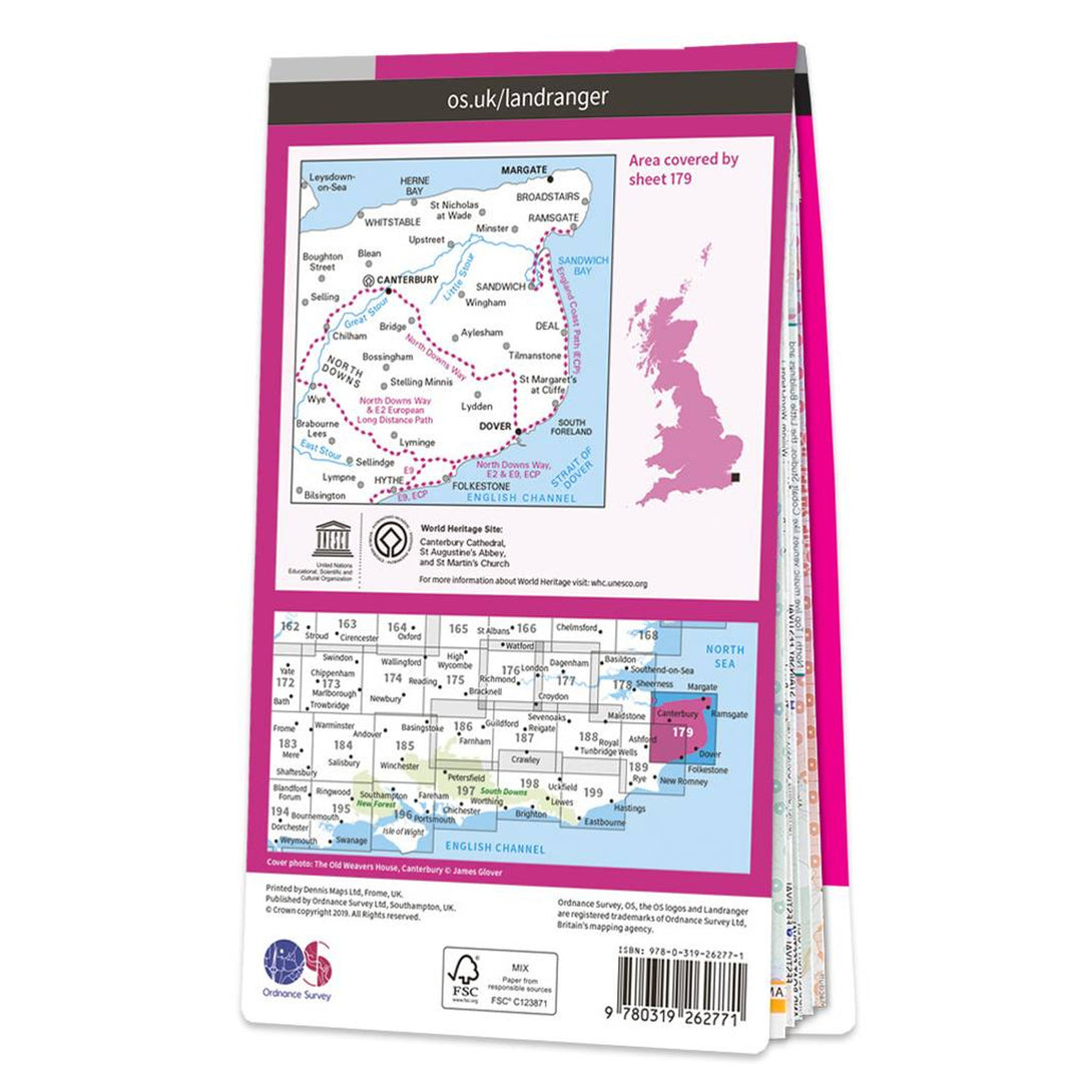
OS Landranger Map 179 Canterbury & East Kent Dover & Margate


Landranger maps by Ordnance Survey are an ideal all-purpose map for planning your perfect day out on foor or by car. With all the information you need to really get to know the area and the world famous OS Mapping the Landranger series are ideal for visitors tourists and local residents.
This sheet is OS Landranger 179 - Canterbury & East Kent Dover & Margate
The Landranger map of Canterbury & East Kent, including Dover & Margate, is a must-have when planning your next trip to the area. Landranger maps are perfect for extensive hikes, cycling, and driving holidays.
Ideal for planning days out or holidays to the far South-East coast, including the Cathedral City of Canterbury, the ports of Folkestone and Over, as well as Margate, Hythe, Whistable, and Herne bay. Other highlights on this map are The North Downs, the ancient Walled City of Canterbury, and the scenic walks on the Cliffs of Dover.
Our Landranger maps come in standard or Weatherproof Active, you'll also receive a free download for your devices — making for a convenient companion.
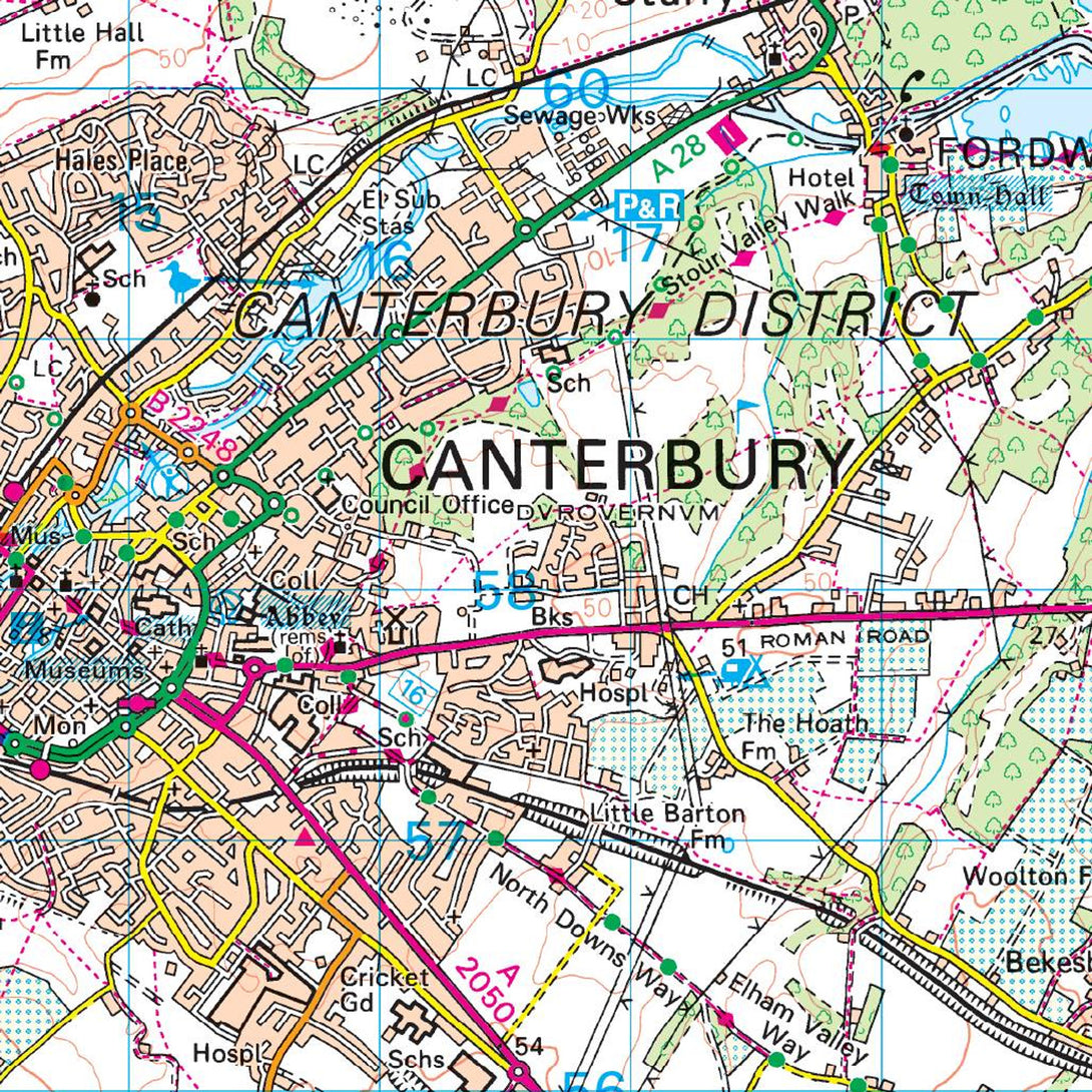
- 1: 50'000 Scale - 2cm to 1km - 1/1/4 inches to 1 mile
- Standard folding edition