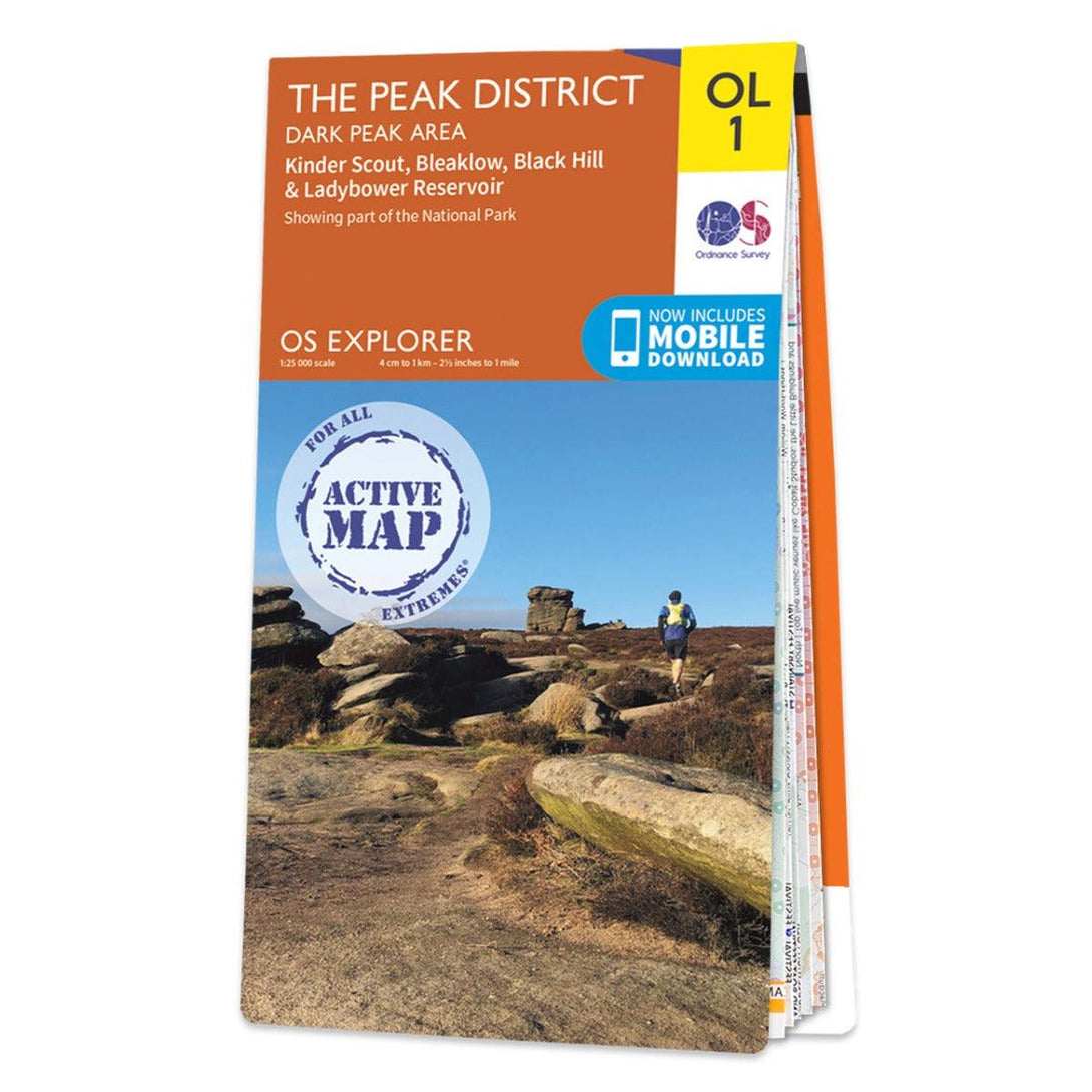
Waterproof OS Map OL1 - The Peak District: Dark Peak Area


Description
The OS Explorer map of The Peak District: Dark Peak, is a must-have when visiting the Dark Peak Area of the Peak District.
Famous for its vast exposed moorlands, waves of plateauing gritstone, feather bed bogs covered in cotton grass, and heather moors. Below the moorland are oak-birch woods and steep valleys covered in interlocking blocks of coniferous plantation - a picturesque place of tranquillity.
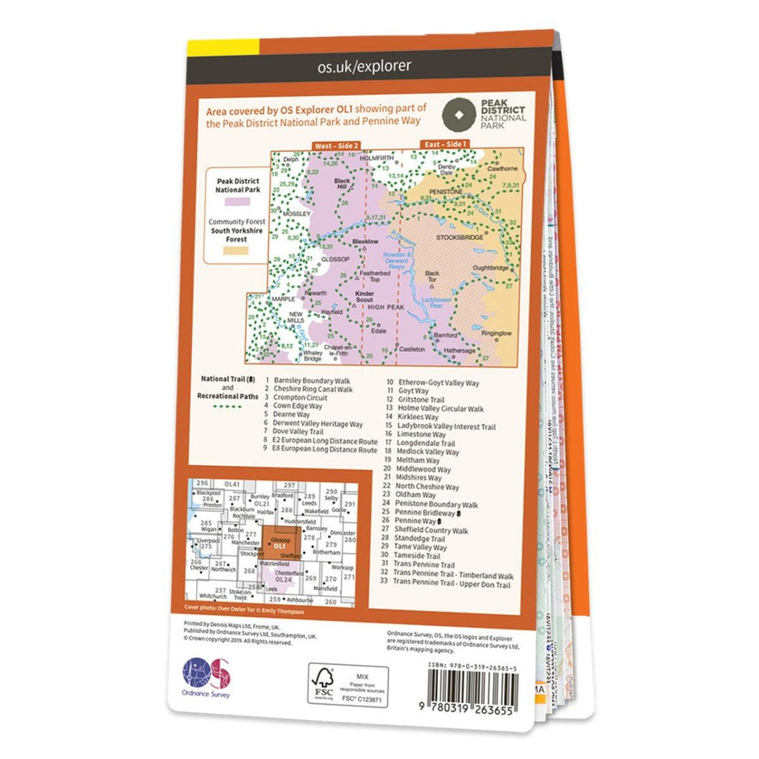
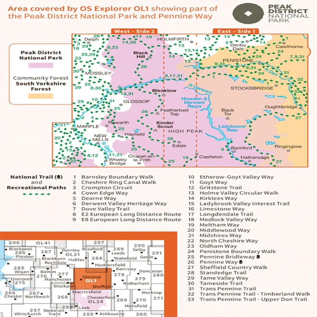
Highlights of this map include: Kinder Scout, Bleaklow, Black Hill, and Ladybower Reservoir.
OS Explorer maps are perfect for day-tripping, extensive hikes, and cycling. This Weatherproof Active map is protected so that you'll never get caught out in a storm.
Waterproof OS Map OL1 - The Peak District: Dark Peak Area
£15.99