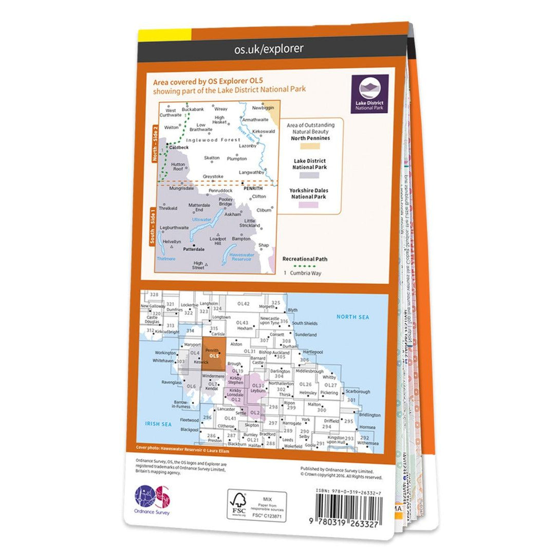
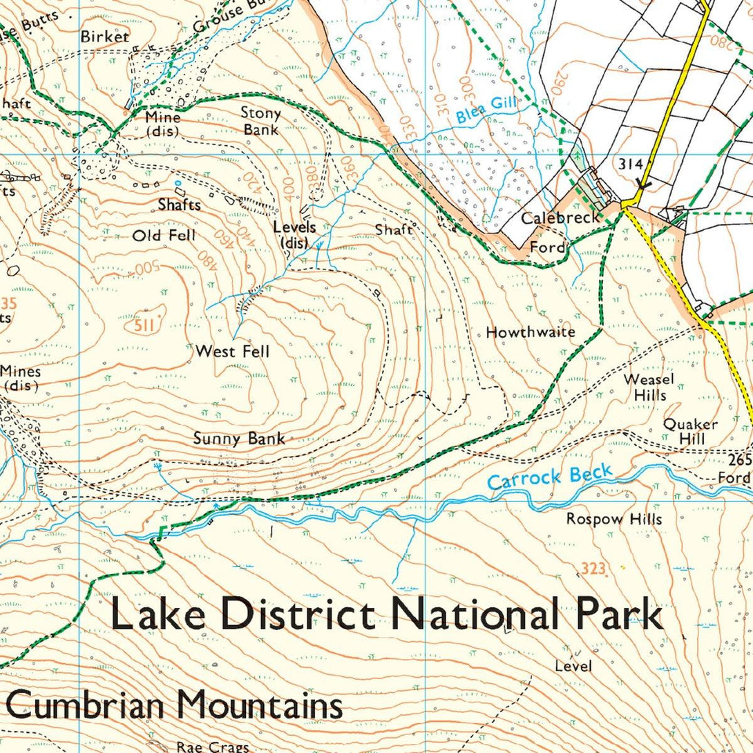
Waterproof OS Map OL5 - Lake District: North-Eastern Area

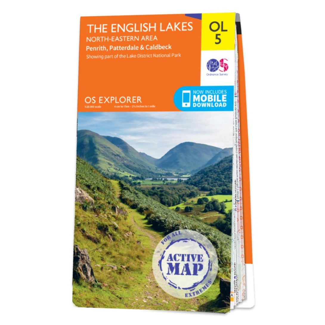


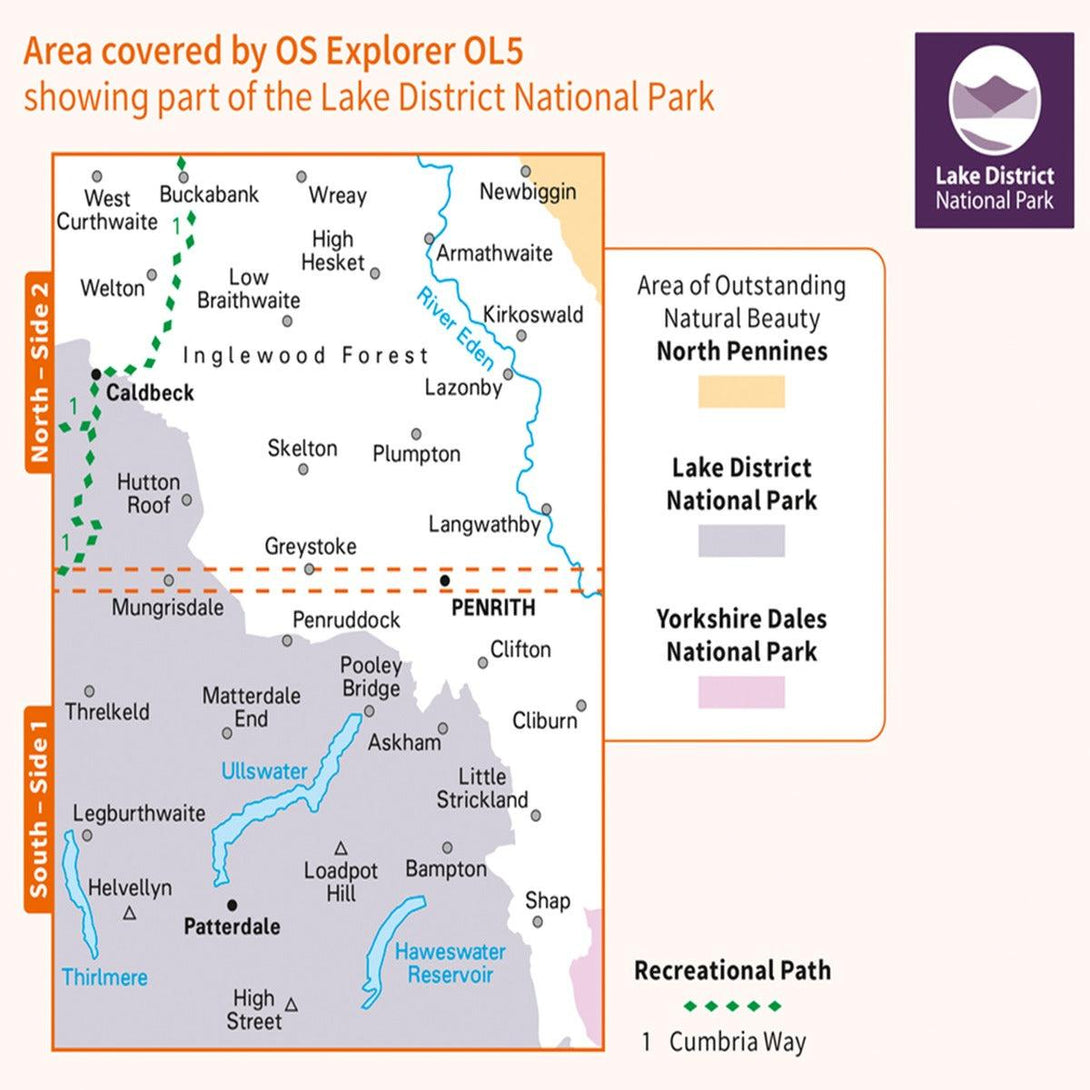


The OS Explorer OL5 map is a must-have when visiting the North-Eastern area of the Lakes, whether you're looking to explore the Castle at Penrith or the beautifully green villages of Patterdale & Caldbeck, OL5 has got you covered.
The perfect companion for your adventure to Helvellyn, the highest point of the Helvellyn range that makes for an exhilarating walk, roughly 2 miles.
Maybe you're hoping to soak up the views at Ullswater — the second larges lake in the Lake District.
OS Explorer maps are perfect for day-tripping, extensive hikes, and cycling. This Weatherproof Active map is protected so that you'll never get caught out in a storm.
This map also comes with a free digital download, so you can access it across your devices — making for a more convenient companion.